Develops map to predict where misplaced predators could disrupt ecosystems.
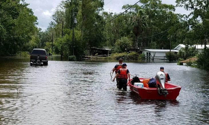
The U.S. Geological Survey (USGS) is developing a map to track how invasive species may have spread due to Hurricanes Helene and Milton. The goal is to help natural resource managers identify potential threats to their local area.
“The preliminary map for Hurricane Helene indicates that there are 222 possible non-native species that had the potential to spread due to storm-related flooding, of which 90 species are considered invasive and likely to spread via flood waters,” said Ian Pfingsten, a botanist with USGS and one of the scientists who creates the maps.
The most concerning invasive species the USGS is tracking are predators and pests relocated further inland due to flooding. In environments where they are not native, some of the species can prey on numerous smaller animals. Some of the concerning species may also carry parasites that could pose risks to human health as well.
As the Lord Leads, Pray with Us…
- For USGS officials as they study and track the spread of invasive species due to hurricanes.
- For state and local leaders as they continue to support recovery and rebuilding efforts.
- For all those who were rendered homeless by the hurricanes this fall.
Sources: U.S. Geological Survey


