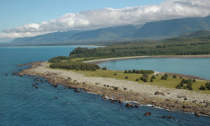
The largest coastline in the union currently lacks proper underwater mapping.
In November of 2019, President Trump signed a memorandum that instructed U.S. Oceanographers to map the coasts of Alaska, beginning with researching the necessary permits to facilitate the endeavors. On Friday, the Federal Ocean Policy Committee released The National Strategy for Ocean Mapping, Exploration, and Characterization, which outlined plans to map the deepest waters by 2030, and the offshore shallows by 2040.
The goal of project is to uncover new natural resources, provide valuable data to Alaska’s cities and companies who rely heavily on the Alaskan state seas in order to bolster the local economies, and to aid in the development of new technologies. The state of Alaska currently lacks thorough oceanic mappings
As the Lord Leads, Pray with Us…
- For President Trump as he considers how best to steward our oceans.
- For the Federal Ocean Policy Committee as they push into this new frontier.
- For God to be glorified as federal agencies map the wilds of Alaska through scientific explorations.
Sources: NPS.gov, White House, Science Magazine


